 EMODnet Product Catalogue
mean sea level
Type of resources
Available actions
Topics
Keywords
Contact for the resource
Provided by
Years
Formats
Representation types
Scale 1:
Resolution
-
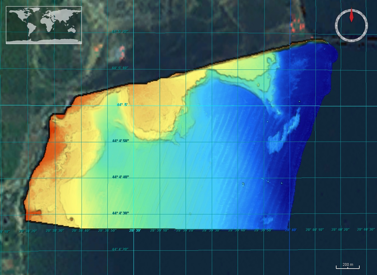
The DTM is produced with Kongsberg multibeam echosounder survey, acquired in 2015 by Marine Research Ltd. The resolution is 1/256 arc-minutes (~7.2m). It is located north of Mangalia Port, Romania, on the coastal region of the Black Sea. Depths are referenced to the Mean Sea Level and the coordinates are expressed into the WGS84 reference frame.
-
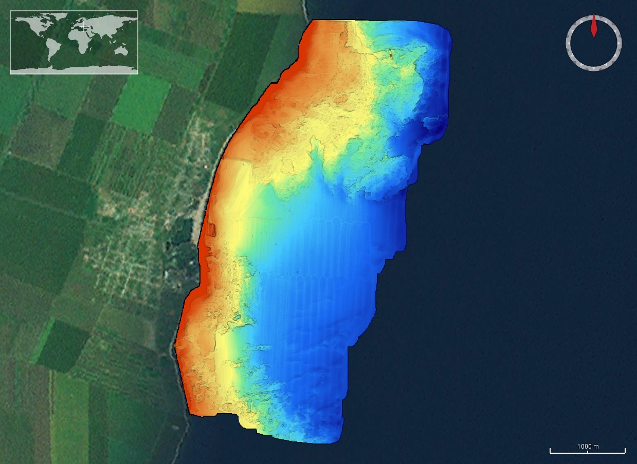
The DTM is produced with Kongsberg multibeam echosounder survey, acquired in 2015 by Marine Research Ltd. The resolution is 1/256 arc-minutes (~7.2m). It is located in Costinesti, Romania, on the coastal region of the Black Sea. Depths are referenced to the Mean Sea Level and the coordinates are expressed into the WGS84 reference frame.
-
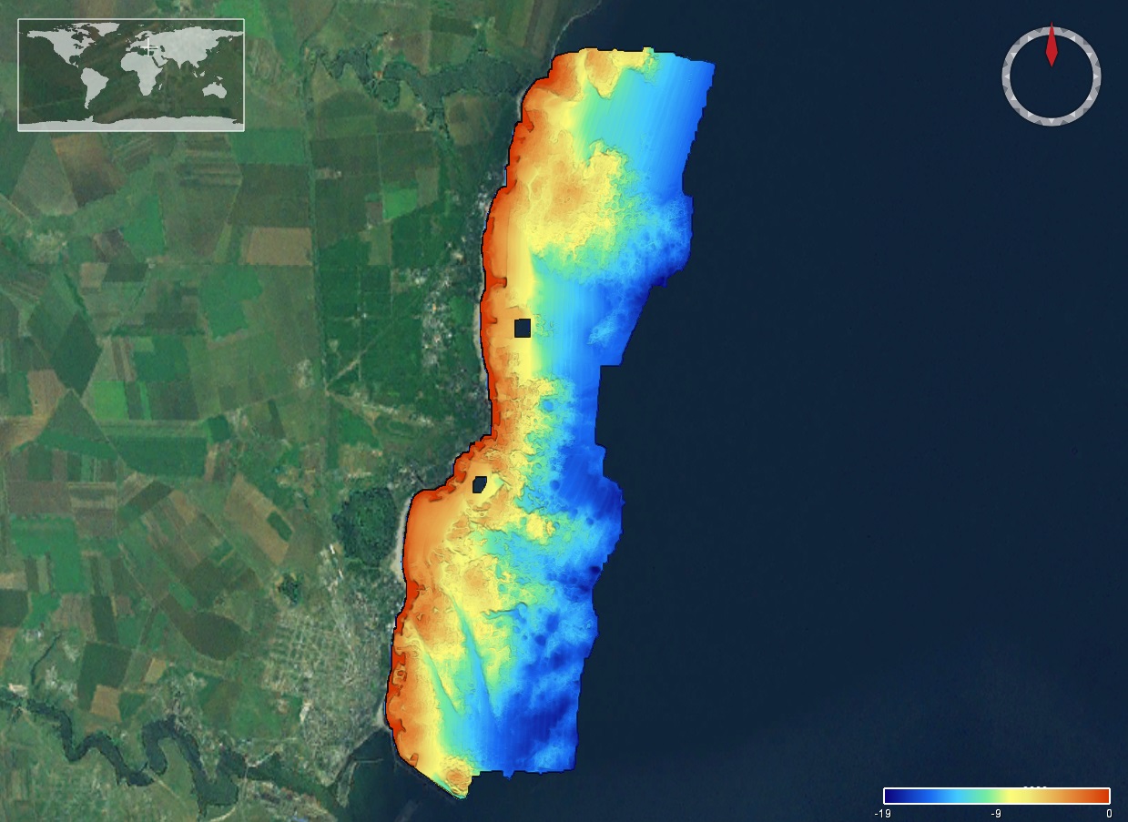
The DTM is produced with Kongsberg multibeam echosounder survey, acquired in 2015 by Marine Research Ltd. The resolution is 1/256 arc-minutes (~7.2m). It is located south of Constanta Port, Romania, on the coastal region of the Black Sea. Depths are referenced to the Mean Sea Level and the coordinates are expressed into the WGS84 reference frame.
-
Multibeam bathymetry showing submarine terraces in the seafloor southeast of Tvärminne Zoological Station in southern Finland archipelago. Detailed information about the depth and shape of the seafloor is provided by the acquired multibeam bathymetry. This information is commonly used to study, for example, general seafloor geology, glacial morphology, bottom habitats, and bottom current activities.
-
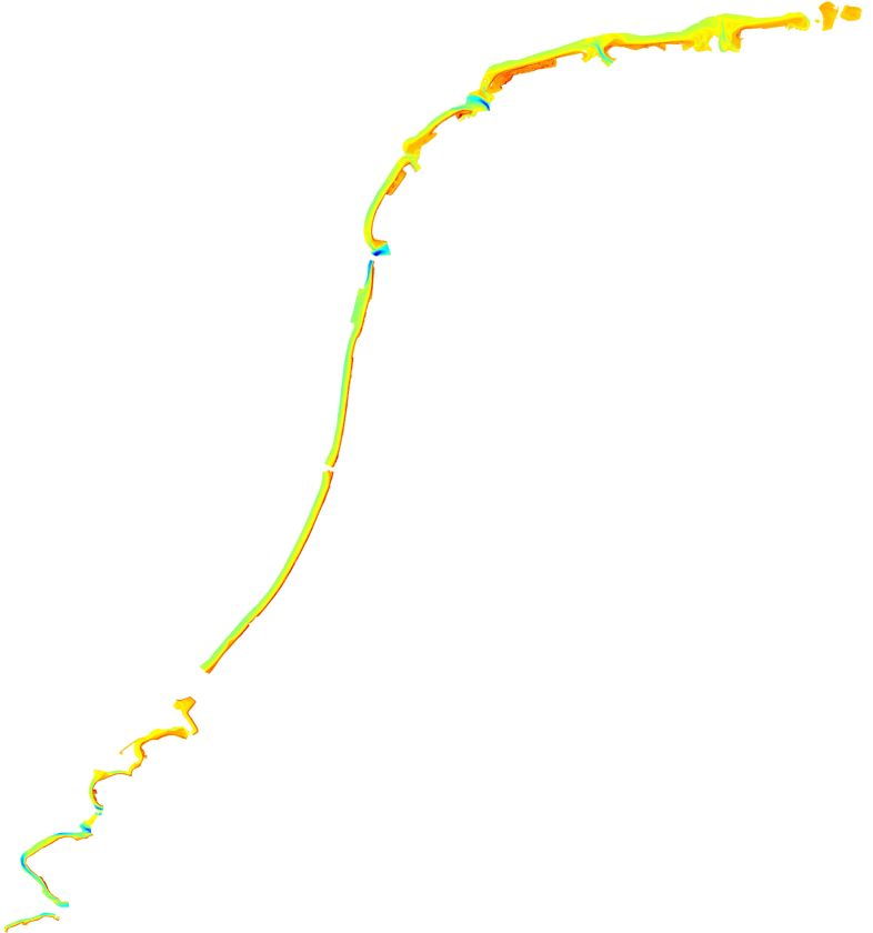
Measurements were carried out in order to map the geomorphological features in shallow waters (up to 10 m). The results were processed as cross profiles to the shore in order to highlight the annual/multiannual geomorphological changes (National monitoring program). The dataset consists in single-beam profiles interpolated.
-
Yearly Survey for control of the position of the coastal shoreline